Wheatfield near Worden Farm
Introduction
The photograph on this page of Wheatfield near Worden Farm by Derek Harper as part of the Geograph project.
The Geograph project started in 2005 with the aim of publishing, organising and preserving representative images for every square kilometre of Great Britain, Ireland and the Isle of Man.

There are currently over 7.5m images from over 14,400 individuals and you can help contribute to the project by visiting https://www.geograph.org.uk
Wheatfield near Worden Farm
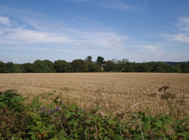
Image: © Derek Harper Taken: 31 Jul 2007
A field of wheat ripens beside the lane from Dippermill to Shebbear. One of the farm buildings (with a bluish roof) at Worden Farm can just be made out in the centre.
Images are licensed for reuse under creativecommons.org/licenses/by-sa/2.0
Image Location
Latitude
50.843291
Longitude
-4.214304