Tuckton: Iford Close
Introduction
The photograph on this page of Tuckton: Iford Close by Chris Downer as part of the Geograph project.
The Geograph project started in 2005 with the aim of publishing, organising and preserving representative images for every square kilometre of Great Britain, Ireland and the Isle of Man.

There are currently over 7.5m images from over 14,400 individuals and you can help contribute to the project by visiting https://www.geograph.org.uk
Tuckton: Iford Close
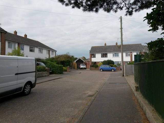
Image: © Chris Downer Taken: 24 Sep 2016
Iford Close is a small cul-de-sac of Iford Lane, and we look here towards its dead end. A footpath continues through to Saxonbury Road ahead - see Image
Images are licensed for reuse under creativecommons.org/licenses/by-sa/2.0
Image Location


Leaflet Map data © OpenStreetMap
Latitude
50.732027
Longitude
-1.795626