Tuckton: footpath I20 from Saxonbury Road
Introduction
The photograph on this page of Tuckton: footpath I20 from Saxonbury Road by Chris Downer as part of the Geograph project.
The Geograph project started in 2005 with the aim of publishing, organising and preserving representative images for every square kilometre of Great Britain, Ireland and the Isle of Man.

There are currently over 7.5m images from over 14,400 individuals and you can help contribute to the project by visiting https://www.geograph.org.uk
Tuckton: footpath I20 from Saxonbury Road
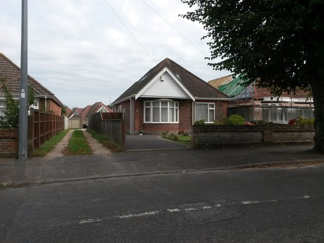
Image: © Chris Downer Taken: 24 Sep 2016
This driveway, to a few garages at the rear of Saxonbury Road and Iford Lane houses, is also a public right of way, footpath I20 leading to the dead end of Iford Close. The bungalow in the picture is no.69 Saxonbury Road. See Image for the next photo along the driveway, with links to further photos along the route.
Images are licensed for reuse under creativecommons.org/licenses/by-sa/2.0
Image Location
Latitude
50.732209
Longitude
-1.796476