Erm, where's the path?
Introduction
The photograph on this page of Erm, where's the path? by Jonathan Thacker as part of the Geograph project.
The Geograph project started in 2005 with the aim of publishing, organising and preserving representative images for every square kilometre of Great Britain, Ireland and the Isle of Man.

There are currently over 7.5m images from over 14,400 individuals and you can help contribute to the project by visiting https://www.geograph.org.uk
Erm, where's the path?
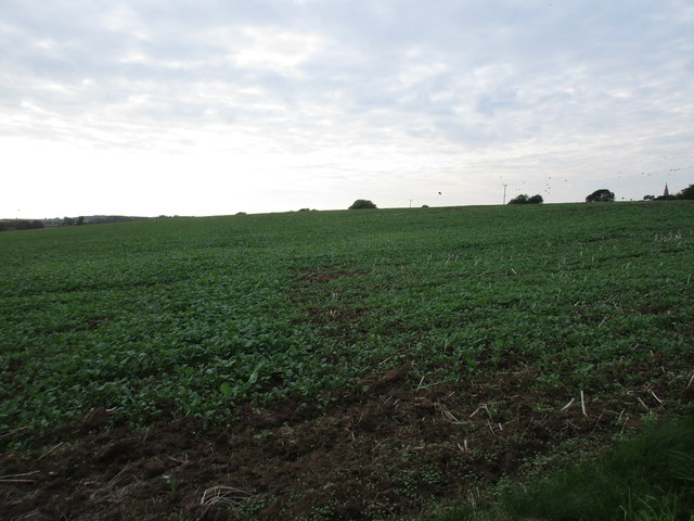
Image: © Jonathan Thacker Taken: 21 Sep 2016
The path here would be difficult to follow now, but impossible once this crop of oilseed rape develops serious growth.
Images are licensed for reuse under creativecommons.org/licenses/by-sa/2.0
Image Location
Latitude
52.857229
Longitude
-0.474072