The Four Alls, 2016
Introduction
The photograph on this page of The Four Alls, 2016 by Jonathan Billinger as part of the Geograph project.
The Geograph project started in 2005 with the aim of publishing, organising and preserving representative images for every square kilometre of Great Britain, Ireland and the Isle of Man.

There are currently over 7.5m images from over 14,400 individuals and you can help contribute to the project by visiting https://www.geograph.org.uk
The Four Alls, 2016
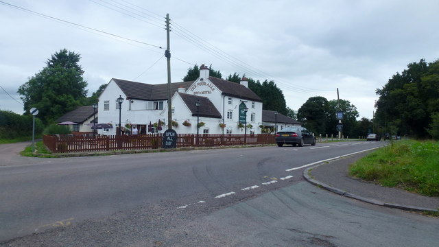
Image: © Jonathan Billinger Taken: 6 Sep 2016
Over eleven years between the first, and only, photo for the gridsquare, Image and I take the same subject as a shot-to-nothing before heading home after my West Staffordshire square-bashing. Very little change except for the removal of the large orange parasol.
Images are licensed for reuse under creativecommons.org/licenses/by-sa/2.0
Image Location
Latitude
52.884426
Longitude
-2.472828