Footpath below Meanwood Grove
Introduction
The photograph on this page of Footpath below Meanwood Grove by Stephen Craven as part of the Geograph project.
The Geograph project started in 2005 with the aim of publishing, organising and preserving representative images for every square kilometre of Great Britain, Ireland and the Isle of Man.

There are currently over 7.5m images from over 14,400 individuals and you can help contribute to the project by visiting https://www.geograph.org.uk
Footpath below Meanwood Grove
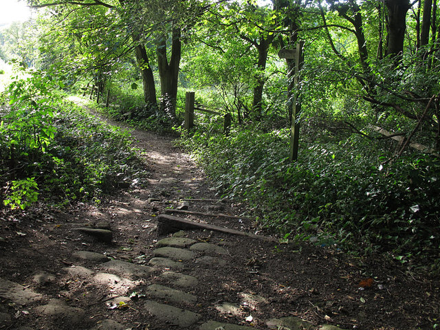
Image: © Stephen Craven Taken: 17 Sep 2016
Meanwood Grove is a vehicular road (though possibly private) but for some reason the public footpath runs parallel to it in the field just below. It is however overgrown a short way on, and we needed to turn back and take the road.
Images are licensed for reuse under creativecommons.org/licenses/by-sa/2.0
Image Location
Latitude
53.839473
Longitude
-1.573844