Weir at Mead Wood
Introduction
The photograph on this page of Weir at Mead Wood by Peter S as part of the Geograph project.
The Geograph project started in 2005 with the aim of publishing, organising and preserving representative images for every square kilometre of Great Britain, Ireland and the Isle of Man.

There are currently over 7.5m images from over 14,400 individuals and you can help contribute to the project by visiting https://www.geograph.org.uk
Weir at Mead Wood
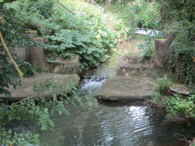
Image: © Peter S Taken: 11 Aug 2016
If it was not for the fact that “Weir” shows on the Ordnance Survey map, this tiny little weir could easily be passed by unnoticed.
Images are licensed for reuse under creativecommons.org/licenses/by-sa/2.0
Image Location
Latitude
51.805523
Longitude
0.001458