Bedford Square, Partridge Green
Introduction
The photograph on this page of Bedford Square, Partridge Green by Simon Carey as part of the Geograph project.
The Geograph project started in 2005 with the aim of publishing, organising and preserving representative images for every square kilometre of Great Britain, Ireland and the Isle of Man.

There are currently over 7.5m images from over 14,400 individuals and you can help contribute to the project by visiting https://www.geograph.org.uk
Bedford Square, Partridge Green
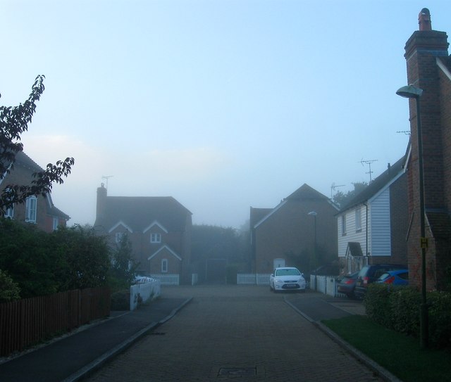
Image: © Simon Carey Taken: 23 Sep 2016
A small cul de sac off Image which was built around 2004 in the grounds of Hillview, Lynmede and Mayfield who themselves occupied a former field called Barley Plat according to West Grinstead's 1841 tithe map.
Images are licensed for reuse under creativecommons.org/licenses/by-sa/2.0
Image Location
Latitude
50.960269
Longitude
-0.310487