Field on Burrington Moor
Introduction
The photograph on this page of Field on Burrington Moor by David Smith as part of the Geograph project.
The Geograph project started in 2005 with the aim of publishing, organising and preserving representative images for every square kilometre of Great Britain, Ireland and the Isle of Man.

There are currently over 7.5m images from over 14,400 individuals and you can help contribute to the project by visiting https://www.geograph.org.uk
Field on Burrington Moor
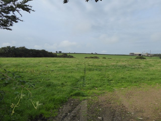
Image: © David Smith Taken: 15 Sep 2016
Looking towards the factory (grass drying plant on the map) at West Aylescott; there is a shallow valley between the field and the factory.
Images are licensed for reuse under creativecommons.org/licenses/by-sa/2.0
Image Location
Latitude
50.926129
Longitude
-3.978743