Footpath south of Springhill
Introduction
The photograph on this page of Footpath south of Springhill by Richard Law as part of the Geograph project.
The Geograph project started in 2005 with the aim of publishing, organising and preserving representative images for every square kilometre of Great Britain, Ireland and the Isle of Man.

There are currently over 7.5m images from over 14,400 individuals and you can help contribute to the project by visiting https://www.geograph.org.uk
Footpath south of Springhill
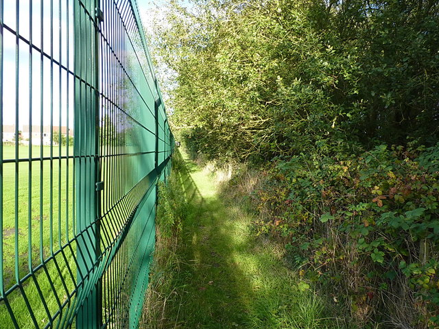
Image: © Richard Law Taken: 22 Sep 2016
The path joins the A462 Bursnips Road with the B4210 Broad Lane.
Images are licensed for reuse under creativecommons.org/licenses/by-sa/2.0
Image Location
Latitude
52.635633
Longitude
-2.037932