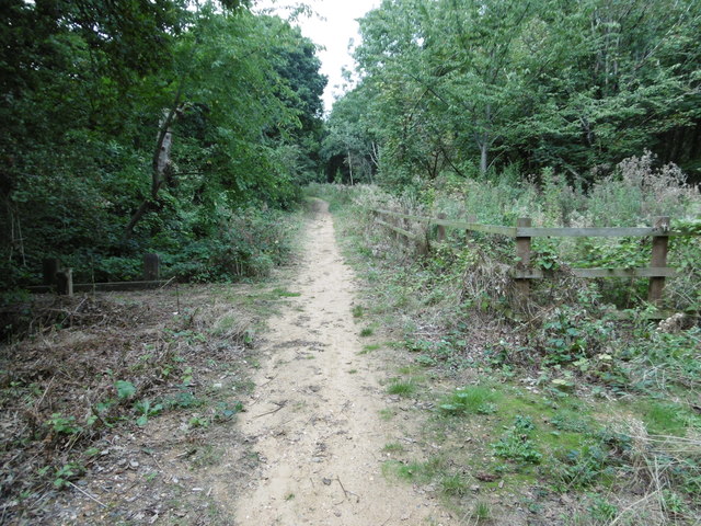
Path in Coppett's Wood
Introduction
The photograph on this page of Path in Coppett's Wood by Marathon as part of the Geograph project.
The Geograph project started in 2005 with the aim of publishing, organising and preserving representative images for every square kilometre of Great Britain, Ireland and the Isle of Man.
There are currently over 7.5m images from over 14,400 individuals and you can help contribute to the project by visiting https://www.geograph.org.uk

Image: © Marathon Taken: 21 Sep 2016
Coppett's Wood was once part of Finchley Common, a large tract of countryside belonging to the Bishop of London. The origin of Coppett's Wood is unclear. It first appeared as woodland on Ordnance Survey maps from surveys of 1862 - 1871, although individual features may date from an earlier time. It is thought to have been used for timber production - the old boundary ditches along the southern and western edges, which survive to this day, may once have served to deter cattle from straying into the wood. The site was designated as a Local nature Reserve in 1997 and there is free public access.

