Monymusk
Introduction
The photograph on this page of Monymusk by Richard Webb as part of the Geograph project.
The Geograph project started in 2005 with the aim of publishing, organising and preserving representative images for every square kilometre of Great Britain, Ireland and the Isle of Man.

There are currently over 7.5m images from over 14,400 individuals and you can help contribute to the project by visiting https://www.geograph.org.uk
Monymusk
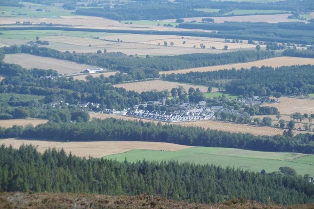
Image: © Richard Webb Taken: 17 Sep 2016
The village, with new houses mirroring the 19th century developments, seen from the summit of Cairn William.
Images are licensed for reuse under creativecommons.org/licenses/by-sa/2.0
Image Location
Latitude
57.22724
Longitude
-2.526329