Footpath in Dry Sandford Nature Reserve
Introduction
The photograph on this page of Footpath in Dry Sandford Nature Reserve by Steve Daniels as part of the Geograph project.
The Geograph project started in 2005 with the aim of publishing, organising and preserving representative images for every square kilometre of Great Britain, Ireland and the Isle of Man.

There are currently over 7.5m images from over 14,400 individuals and you can help contribute to the project by visiting https://www.geograph.org.uk
Footpath in Dry Sandford Nature Reserve
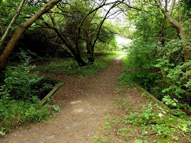
Image: © Steve Daniels Taken: 13 Sep 2016
Dry Sandford Pits is a fascinating mosaic of fossil-rich cliffs, fenland with ponds and streams, grassland, scrub and woodland set in an old quarry.
Images are licensed for reuse under creativecommons.org/licenses/by-sa/2.0
Image Location
Latitude
51.692048
Longitude
-1.325929