Bogmore Wood
Introduction
The photograph on this page of Bogmore Wood by Richard Webb as part of the Geograph project.
The Geograph project started in 2005 with the aim of publishing, organising and preserving representative images for every square kilometre of Great Britain, Ireland and the Isle of Man.

There are currently over 7.5m images from over 14,400 individuals and you can help contribute to the project by visiting https://www.geograph.org.uk
Bogmore Wood
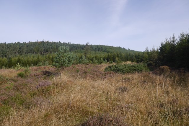
Image: © Richard Webb Taken: 17 Sep 2016
A clearing in Pitfichie Forest - there is a lade shown on the Ordnance Survey 1:25,000 map. It's dry and a barely noticed ditch now.
Images are licensed for reuse under creativecommons.org/licenses/by-sa/2.0
Image Location
Latitude
57.206896
Longitude
-2.595894