Cale Green Conservation Area, Stockport
Introduction
The photograph on this page of Cale Green Conservation Area, Stockport by Jaggery as part of the Geograph project.
The Geograph project started in 2005 with the aim of publishing, organising and preserving representative images for every square kilometre of Great Britain, Ireland and the Isle of Man.

There are currently over 7.5m images from over 14,400 individuals and you can help contribute to the project by visiting https://www.geograph.org.uk
Cale Green Conservation Area, Stockport
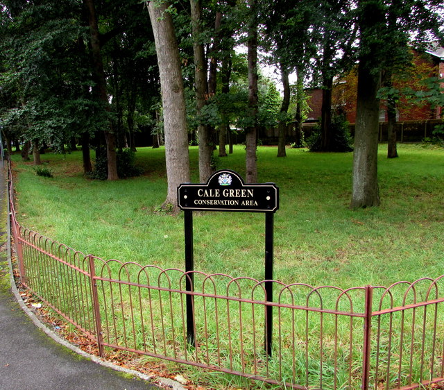
Image: © Jaggery Taken: 10 Sep 2016
The Stockport Metropolitan Borough Council website states that Cale Green is an inner residential suburb of Stockport, located one mile from the town centre. Cale Green Park occupies a large part of the Cale Green Conservation Area, which is bounded to the southwest by the Manchester to Buxton railway line, to the east by the historic route of Bramhall Lane, and to the north (this side) by the district of Shaw Heath.
Images are licensed for reuse under creativecommons.org/licenses/by-sa/2.0
Image Location
Latitude
53.395301
Longitude
-2.154703