The Roadhouse, London Road - September 2016
Introduction
The photograph on this page of The Roadhouse, London Road - September 2016 by The Carlisle Kid as part of the Geograph project.
The Geograph project started in 2005 with the aim of publishing, organising and preserving representative images for every square kilometre of Great Britain, Ireland and the Isle of Man.

There are currently over 7.5m images from over 14,400 individuals and you can help contribute to the project by visiting https://www.geograph.org.uk
The Roadhouse, London Road - September 2016
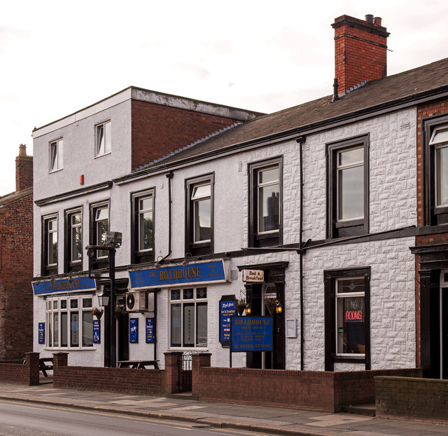
Image: © The Carlisle Kid Taken: 20 Sep 2016
Not shown as a public house on the 1924 OS map, this is assumed to be a modern conversion into licensed premises. Photograph is for record only - I have no connection with this business and cannot advise on their products or services.
Images are licensed for reuse under creativecommons.org/licenses/by-sa/2.0
Image Location
Latitude
54.88828
Longitude
-2.92581