The Forstal looking towards Holly Cottages
Introduction
The photograph on this page of The Forstal looking towards Holly Cottages by Marathon as part of the Geograph project.
The Geograph project started in 2005 with the aim of publishing, organising and preserving representative images for every square kilometre of Great Britain, Ireland and the Isle of Man.

There are currently over 7.5m images from over 14,400 individuals and you can help contribute to the project by visiting https://www.geograph.org.uk
The Forstal looking towards Holly Cottages
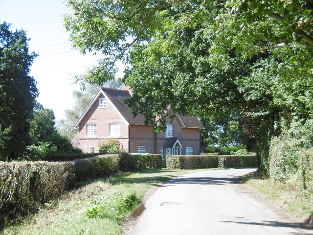
Image: © Marathon Taken: 11 Sep 2016
Just around the corner is the junction with Groombridge Lane and Eridge Road.
Images are licensed for reuse under creativecommons.org/licenses/by-sa/2.0
Image Location
Latitude
51.093995
Longitude
0.202656