Model Cottage, Bramcote Lane
Introduction
The photograph on this page of Model Cottage, Bramcote Lane by Alan Murray-Rust as part of the Geograph project.
The Geograph project started in 2005 with the aim of publishing, organising and preserving representative images for every square kilometre of Great Britain, Ireland and the Isle of Man.

There are currently over 7.5m images from over 14,400 individuals and you can help contribute to the project by visiting https://www.geograph.org.uk
Model Cottage, Bramcote Lane
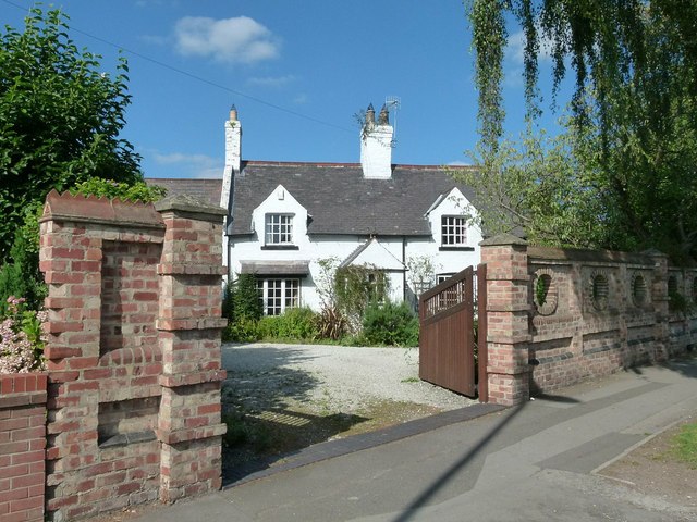
Image: © Alan Murray-Rust Taken: 18 Sep 2016
Until the coming of major housing development in the area, this was the only house between Wollaton village and Bramcote village. The name derives from its relationship to Model Farm, which was located in a rectangle bounded by Wollaton Vale, Grangewood Road and Edlington Drive.
Images are licensed for reuse under creativecommons.org/licenses/by-sa/2.0
Image Location
Latitude
52.947778
Longitude
-1.229935