Tottle Brook at Woodbank Drive
Introduction
The photograph on this page of Tottle Brook at Woodbank Drive by Alan Murray-Rust as part of the Geograph project.
The Geograph project started in 2005 with the aim of publishing, organising and preserving representative images for every square kilometre of Great Britain, Ireland and the Isle of Man.

There are currently over 7.5m images from over 14,400 individuals and you can help contribute to the project by visiting https://www.geograph.org.uk
Tottle Brook at Woodbank Drive
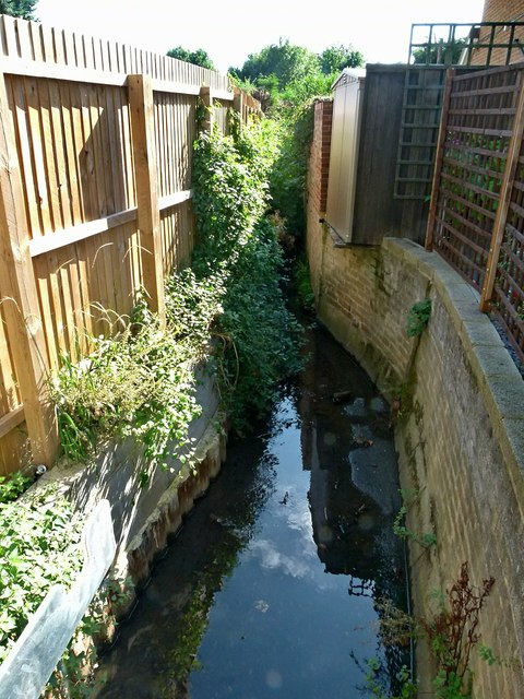
Image: © Alan Murray-Rust Taken: 18 Sep 2016
Once a rural stream, it has been hemmed in by the gardens of later residential development, but remains largely unculverted.
Images are licensed for reuse under creativecommons.org/licenses/by-sa/2.0
Image Location
Latitude
52.943523
Longitude
-1.225249