Road closure, Parkside Road, Meanwood, Leeds
Introduction
The photograph on this page of Road closure, Parkside Road, Meanwood, Leeds by Humphrey Bolton as part of the Geograph project.
The Geograph project started in 2005 with the aim of publishing, organising and preserving representative images for every square kilometre of Great Britain, Ireland and the Isle of Man.

There are currently over 7.5m images from over 14,400 individuals and you can help contribute to the project by visiting https://www.geograph.org.uk
Road closure, Parkside Road, Meanwood, Leeds
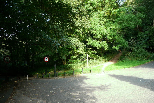
Image: © Humphrey Bolton Taken: 17 Sep 2016
"When I used to come here, years ago, Parkside Road was a handy rat-run between Meanwood and the outer ring road – though a little hair-raising as the switchback-style road plunged down through the dark woods. Its (The Myrtle) location guaranteed a deal of passing trade, and made it handy as a meeting place for the after-work crowd. Two things changed that – one end of the road was diverted to force drivers through a tortuous chicane and over some speed bumps; the other end was simply closed. The through traffic was forced to go some other route, and rather than being ready stopping-off points for passing motorists the Myrtle and its near neighbour the Bay Horse were suddenly off the beaten track." Quoted from http://www.yorkshireeveningpost.co.uk/lifestyle/bars/pub-review-the-myrtle-tavern-parkside-road-meanwood-1-4023030
Images are licensed for reuse under creativecommons.org/licenses/by-sa/2.0
Image Location
Latitude
53.839473
Longitude
-1.573844