'Lychgate' into Meanwood park, Leeds
Introduction
The photograph on this page of 'Lychgate' into Meanwood park, Leeds by Humphrey Bolton as part of the Geograph project.
The Geograph project started in 2005 with the aim of publishing, organising and preserving representative images for every square kilometre of Great Britain, Ireland and the Isle of Man.

There are currently over 7.5m images from over 14,400 individuals and you can help contribute to the project by visiting https://www.geograph.org.uk
'Lychgate' into Meanwood park, Leeds
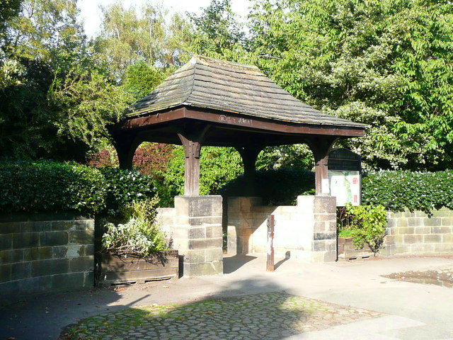
Image: © Humphrey Bolton Taken: 17 Sep 2016
This is possibly on the 1934 1:2500 map, assuming that it was built at the same time as the curved walls on each side. I think it was probably built to look like a lychgate, rather than having been moved from a churchyard entrance.
Images are licensed for reuse under creativecommons.org/licenses/by-sa/2.0
Image Location
Latitude
53.83111
Longitude
-1.572562