Tenison Road closed
Introduction
The photograph on this page of Tenison Road closed by John Sutton as part of the Geograph project.
The Geograph project started in 2005 with the aim of publishing, organising and preserving representative images for every square kilometre of Great Britain, Ireland and the Isle of Man.

There are currently over 7.5m images from over 14,400 individuals and you can help contribute to the project by visiting https://www.geograph.org.uk
Tenison Road closed
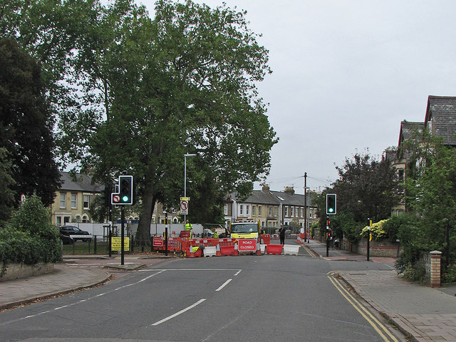
Image: © John Sutton Taken: 19 Sep 2016
The section of Tenison Road between Lyndewode Road and Mill Road has been closed since March 2016 while traffic-calming features are constructed. The traffic lights are still in use, to protect cyclists coming from Lyndewode Road (left) and St Barnabas Road.
Images are licensed for reuse under creativecommons.org/licenses/by-sa/2.0
Image Location


Leaflet Map data © OpenStreetMap
Latitude
52.197209
Longitude
0.135193