Archbishop's Palace
Introduction
The photograph on this page of Archbishop's Palace by John M as part of the Geograph project.
The Geograph project started in 2005 with the aim of publishing, organising and preserving representative images for every square kilometre of Great Britain, Ireland and the Isle of Man.

There are currently over 7.5m images from over 14,400 individuals and you can help contribute to the project by visiting https://www.geograph.org.uk
Archbishop's Palace
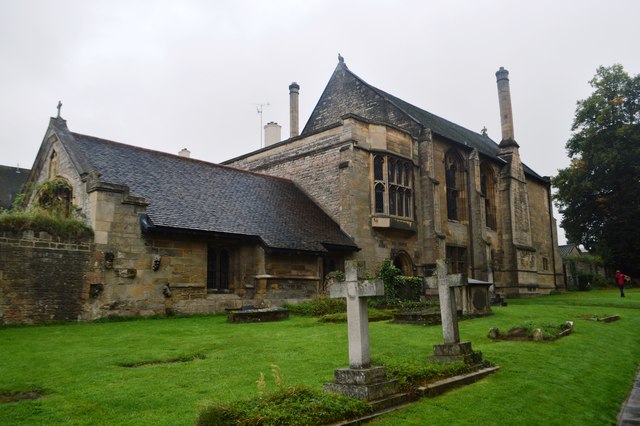
Image: © John M Taken: 19 Sep 2016
A resting point between York and London. In 1646 King Charles I entered last ditch negotiations with the Scottish Commissioners whose troops were besieging Royalist Newark. Later that day the king was taken prisoner by the Scots and was eventually handed over to Parliament, tried and executed.
Images are licensed for reuse under creativecommons.org/licenses/by-sa/2.0
Image Location
Latitude
53.07647
Longitude
-0.954173