Flats on Empire Way, Wembley
Introduction
The photograph on this page of Flats on Empire Way, Wembley by Christopher Hilton as part of the Geograph project.
The Geograph project started in 2005 with the aim of publishing, organising and preserving representative images for every square kilometre of Great Britain, Ireland and the Isle of Man.

There are currently over 7.5m images from over 14,400 individuals and you can help contribute to the project by visiting https://www.geograph.org.uk
Flats on Empire Way, Wembley
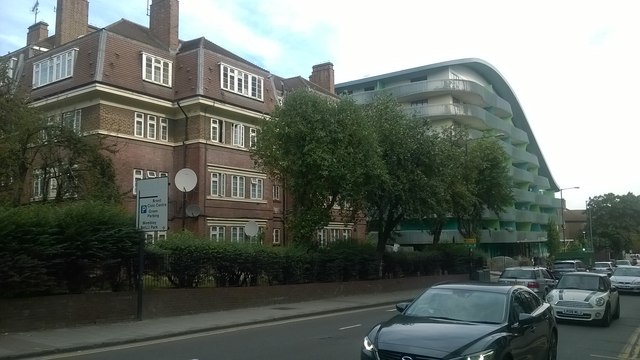
Image: © Christopher Hilton Taken: 31 Aug 2016
Most of the flats along the west side of Empire Way are of a similar inter-war vintage: the modern block inserted into them replaces a similar inter-war block demolished, according to Google Streetview, between August 2008 and October 2009.
Images are licensed for reuse under creativecommons.org/licenses/by-sa/2.0
Image Location
Latitude
51.558547
Longitude
-0.285381