SCARF, Cotton Street, Aberdeen
Introduction
The photograph on this page of SCARF, Cotton Street, Aberdeen by Bill Harrison as part of the Geograph project.
The Geograph project started in 2005 with the aim of publishing, organising and preserving representative images for every square kilometre of Great Britain, Ireland and the Isle of Man.

There are currently over 7.5m images from over 14,400 individuals and you can help contribute to the project by visiting https://www.geograph.org.uk
SCARF, Cotton Street, Aberdeen
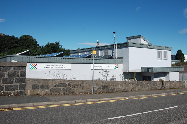
Image: © Bill Harrison Taken: 13 Aug 2016
SCARF is a social enterprise supporting energy efficiency and sustainable living, but I'm not sure what, if anything, SCARF stands for: http://www.scarf.org.uk/about-us/ . Note the solar panels on the roof.
Images are licensed for reuse under creativecommons.org/licenses/by-sa/2.0
Image Location
Latitude
57.148904
Longitude
-2.086585