Flush Bracket OSBM 2133: Lodge Farm
Introduction
The photograph on this page of Flush Bracket OSBM 2133: Lodge Farm by Brian Westlake as part of the Geograph project.
The Geograph project started in 2005 with the aim of publishing, organising and preserving representative images for every square kilometre of Great Britain, Ireland and the Isle of Man.

There are currently over 7.5m images from over 14,400 individuals and you can help contribute to the project by visiting https://www.geograph.org.uk
Flush Bracket OSBM 2133: Lodge Farm
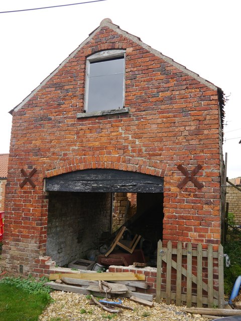
Image: © Brian Westlake Taken: 5 Sep 2016
An Ordnance Survey flush bracket bench mark is on the lower left of this barn. See http://www.geograph.org.uk/photo/5120897 for a close-up and http://www.bench-marks.org.uk/bm1905 for details.
Images are licensed for reuse under creativecommons.org/licenses/by-sa/2.0
Image Location
Latitude
52.990442
Longitude
-0.596465