RDX 27
Introduction
The photograph on this page of RDX 27 by Jonathan Wilkins as part of the Geograph project.
The Geograph project started in 2005 with the aim of publishing, organising and preserving representative images for every square kilometre of Great Britain, Ireland and the Isle of Man.

There are currently over 7.5m images from over 14,400 individuals and you can help contribute to the project by visiting https://www.geograph.org.uk
RDX 27
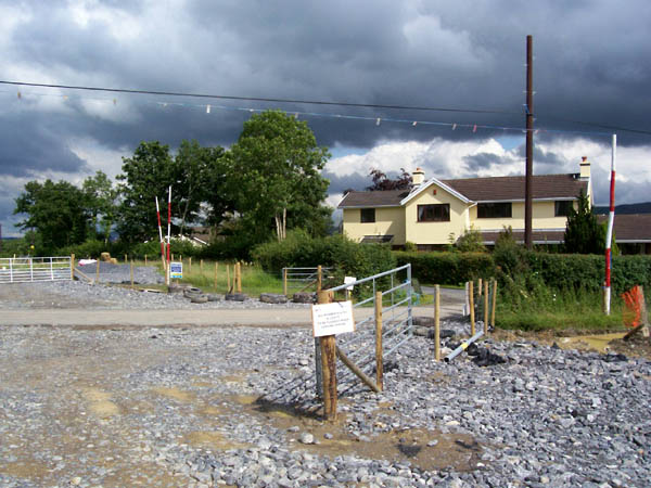
Image: © Jonathan Wilkins Taken: 22 Jul 2007
Road crossings (RDX) are given location numbers. RDX27 is at the top of the Cwmifor village road.
Images are licensed for reuse under creativecommons.org/licenses/by-sa/2.0
Image Location
Latitude
51.917053
Longitude
-3.95121