Premier House, Manchester
Introduction
The photograph on this page of Premier House, Manchester by Matt Harrop as part of the Geograph project.
The Geograph project started in 2005 with the aim of publishing, organising and preserving representative images for every square kilometre of Great Britain, Ireland and the Isle of Man.

There are currently over 7.5m images from over 14,400 individuals and you can help contribute to the project by visiting https://www.geograph.org.uk
Premier House, Manchester
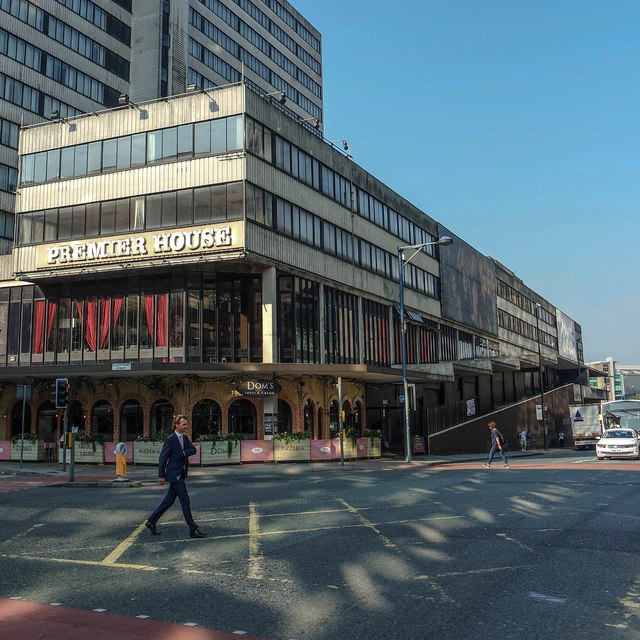
Image: © Matt Harrop Taken: 14 Sep 2016
Most of the area around Deansgate is now so heavily developed, with dozens of new glass towers rising up and reflecting the sun across the street like mirror balls, that Premier House now looks incredibly dated and tired.
Images are licensed for reuse under creativecommons.org/licenses/by-sa/2.0
Image Location
Latitude
53.483504
Longitude
-2.246495