Road at the south end of Luppitt Common
Introduction
The photograph on this page of Road at the south end of Luppitt Common by David Smith as part of the Geograph project.
The Geograph project started in 2005 with the aim of publishing, organising and preserving representative images for every square kilometre of Great Britain, Ireland and the Isle of Man.

There are currently over 7.5m images from over 14,400 individuals and you can help contribute to the project by visiting https://www.geograph.org.uk
Road at the south end of Luppitt Common
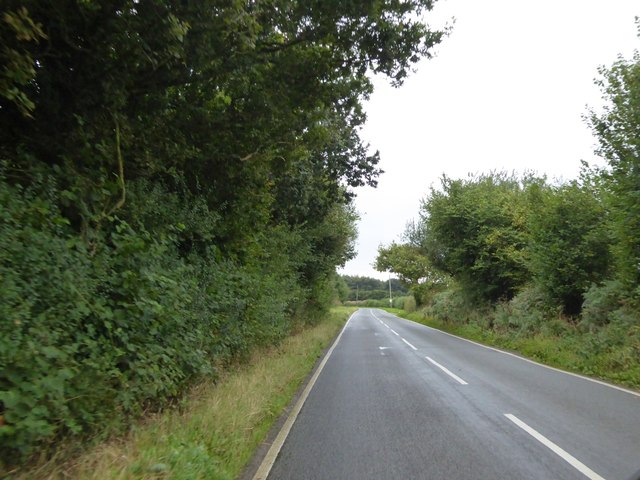
Image: © David Smith Taken: 3 Sep 2016
An end to the straight road across Luppitt Common, where it curves to the left. Access to Old Highwood is on the right by the lone tree
Images are licensed for reuse under creativecommons.org/licenses/by-sa/2.0
Image Location
Latitude
50.851508
Longitude
-3.206011