Longfield Lane
Introduction
The photograph on this page of Longfield Lane by Ian Capper as part of the Geograph project.
The Geograph project started in 2005 with the aim of publishing, organising and preserving representative images for every square kilometre of Great Britain, Ireland and the Isle of Man.

There are currently over 7.5m images from over 14,400 individuals and you can help contribute to the project by visiting https://www.geograph.org.uk
Longfield Lane
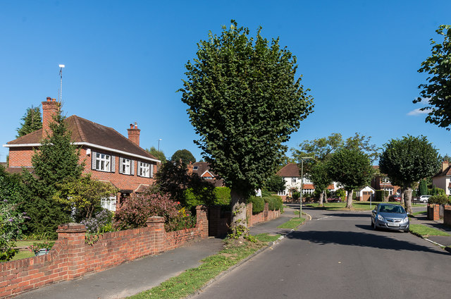
Image: © Ian Capper Taken: 11 Sep 2016
Housing north of The Nower off West Bank (seen in the background). Maps suggest that it was developed in the 1950s or thenabouts.
Images are licensed for reuse under creativecommons.org/licenses/by-sa/2.0
Image Location
Latitude
51.225729
Longitude
-0.341158