Crossroads near Backfolds
Introduction
The photograph on this page of Crossroads near Backfolds by Ken Fitlike as part of the Geograph project.
The Geograph project started in 2005 with the aim of publishing, organising and preserving representative images for every square kilometre of Great Britain, Ireland and the Isle of Man.

There are currently over 7.5m images from over 14,400 individuals and you can help contribute to the project by visiting https://www.geograph.org.uk
Crossroads near Backfolds
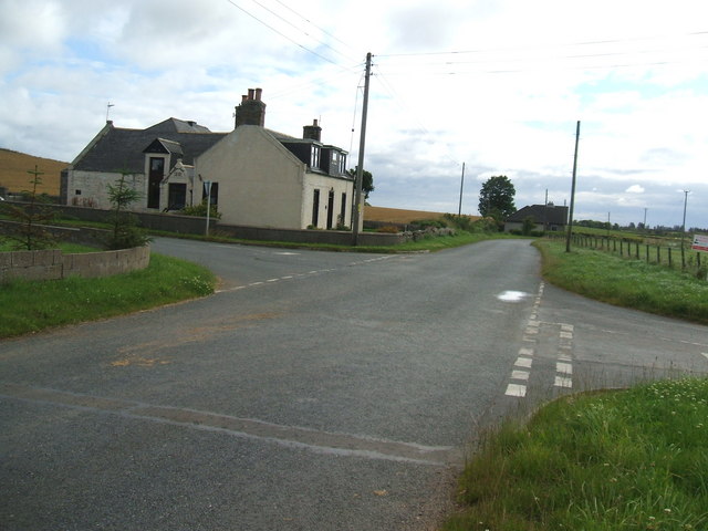
Image: © Ken Fitlike Taken: 28 Jul 2007
Approaching from New Leeds area, looking east towards St Fergus. Left side road goes north to Lonmay, right side road south to Mintlaw area. House has '1881' carved above the side entry porch.
Images are licensed for reuse under creativecommons.org/licenses/by-sa/2.0
Image Location
Latitude
57.563569
Longitude
-1.957865