Entrance to Stagenhoe, St Paul's Walden
Introduction
The photograph on this page of Entrance to Stagenhoe, St Paul's Walden by Humphrey Bolton as part of the Geograph project.
The Geograph project started in 2005 with the aim of publishing, organising and preserving representative images for every square kilometre of Great Britain, Ireland and the Isle of Man.

There are currently over 7.5m images from over 14,400 individuals and you can help contribute to the project by visiting https://www.geograph.org.uk
Entrance to Stagenhoe, St Paul's Walden
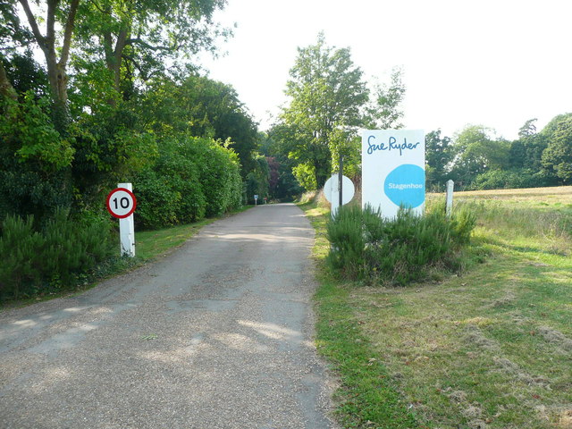
Image: © Humphrey Bolton Taken: 14 Sep 2016
The house is now a Sue Ryder Care Home. It is a listed building, built in the 18C with 19C and later extensions. The public footpath goes along the edge of the field to the right. (See http://www.prestonherts.co.uk/page170.html )
Images are licensed for reuse under creativecommons.org/licenses/by-sa/2.0
Image Location


Leaflet Map data © OpenStreetMap
Latitude
51.891239
Longitude
-0.27827