Stather Road, Burton Stather
Introduction
The photograph on this page of Stather Road, Burton Stather by Paul Harrop as part of the Geograph project.
The Geograph project started in 2005 with the aim of publishing, organising and preserving representative images for every square kilometre of Great Britain, Ireland and the Isle of Man.

There are currently over 7.5m images from over 14,400 individuals and you can help contribute to the project by visiting https://www.geograph.org.uk
Stather Road, Burton Stather
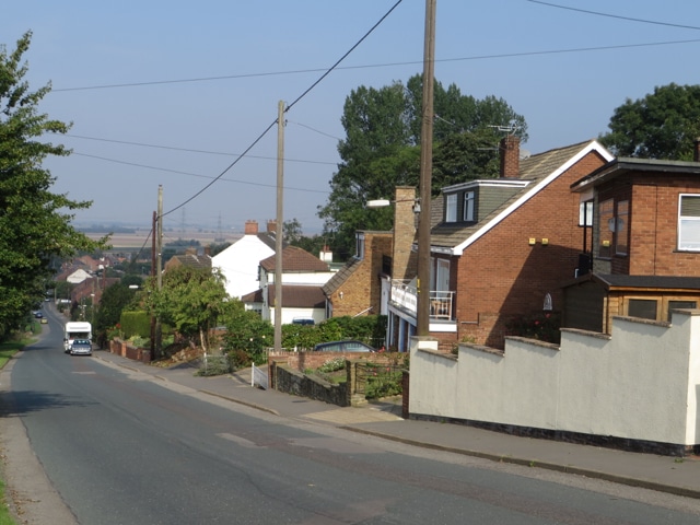
Image: © Paul Harrop Taken: 14 Sep 2016
Steep, dead-end road leading down from the main village of Burton upon Stather to the smaller settlement and wharf at Burton Stather.
Images are licensed for reuse under creativecommons.org/licenses/by-sa/2.0
Image Location
Latitude
53.651217
Longitude
-0.688092