Direction sign at a Crickhowell junction
Introduction
The photograph on this page of Direction sign at a Crickhowell junction by Jaggery as part of the Geograph project.
The Geograph project started in 2005 with the aim of publishing, organising and preserving representative images for every square kilometre of Great Britain, Ireland and the Isle of Man.

There are currently over 7.5m images from over 14,400 individuals and you can help contribute to the project by visiting https://www.geograph.org.uk
Direction sign at a Crickhowell junction
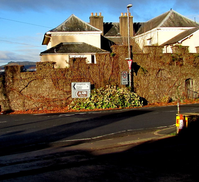
Image: © Jaggery Taken: 22 Nov 2015
At the A40 junction, take the A4077 New Road for Llangattock and Gilwern.
Images are licensed for reuse under creativecommons.org/licenses/by-sa/2.0
Image Location
Latitude
51.860116
Longitude
-3.137682