Hardy Way at the B3092
Introduction
The photograph on this page of Hardy Way at the B3092 by Derek Harper as part of the Geograph project.
The Geograph project started in 2005 with the aim of publishing, organising and preserving representative images for every square kilometre of Great Britain, Ireland and the Isle of Man.

There are currently over 7.5m images from over 14,400 individuals and you can help contribute to the project by visiting https://www.geograph.org.uk
Hardy Way at the B3092
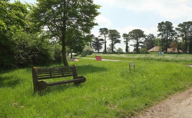
Image: © Derek Harper Taken: 26 May 2016
A seat beside Shave Lane by its junction with the B road, which seems to be closed south of here, if the sign is to be believed. The Hardy Way crosses the B road here.
Images are licensed for reuse under creativecommons.org/licenses/by-sa/2.0
Image Location


Leaflet Map data © OpenStreetMap
Latitude
50.980124
Longitude
-2.291396