Coast by Sunadale
Introduction
The photograph on this page of Coast by Sunadale by Jonathan Wilkins as part of the Geograph project.
The Geograph project started in 2005 with the aim of publishing, organising and preserving representative images for every square kilometre of Great Britain, Ireland and the Isle of Man.

There are currently over 7.5m images from over 14,400 individuals and you can help contribute to the project by visiting https://www.geograph.org.uk
Coast by Sunadale
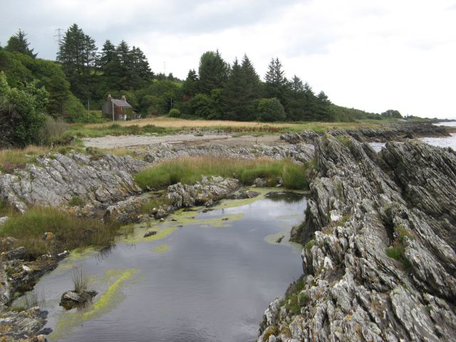
Image: © Jonathan Wilkins Taken: 5 Aug 2016
Looking across coastal rocks and Port na h-Uamha to the derelict croft of Sunadale.
Images are licensed for reuse under creativecommons.org/licenses/by-sa/2.0
Image Location
Latitude
55.647525
Longitude
-5.478403