Hollingarth Way, Hemyock
Introduction
The photograph on this page of Hollingarth Way, Hemyock by David Smith as part of the Geograph project.
The Geograph project started in 2005 with the aim of publishing, organising and preserving representative images for every square kilometre of Great Britain, Ireland and the Isle of Man.

There are currently over 7.5m images from over 14,400 individuals and you can help contribute to the project by visiting https://www.geograph.org.uk
Hollingarth Way, Hemyock
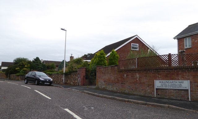
Image: © David Smith Taken: 3 Sep 2016
A residential road, leading to further roads with a variety of names (Tedders Close, The Oaks, Blackdown View, Pencross View and St Margarets Close)
Images are licensed for reuse under creativecommons.org/licenses/by-sa/2.0
Image Location
Latitude
50.914593
Longitude
-3.227557