160, Mongeham Road
Introduction
The photograph on this page of 160, Mongeham Road by John Baker as part of the Geograph project.
The Geograph project started in 2005 with the aim of publishing, organising and preserving representative images for every square kilometre of Great Britain, Ireland and the Isle of Man.

There are currently over 7.5m images from over 14,400 individuals and you can help contribute to the project by visiting https://www.geograph.org.uk
160, Mongeham Road
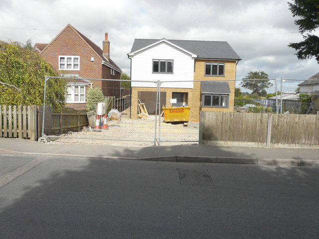
Image: © John Baker Taken: 4 Sep 2016
The Image now sports a house; planning permission has been granted by Dover District Council under application number DOV/14/01146 as the “erection of a detached dwelling with associated parking”. The location was given as land adjacent to 162, Mongeham Road (the house seen here on the left). Upon completion, the house was given the number 160.
Images are licensed for reuse under creativecommons.org/licenses/by-sa/2.0
Image Location
Latitude
51.215856
Longitude
1.366177