Cycle path at Renton
Introduction
The photograph on this page of Cycle path at Renton by Lairich Rig as part of the Geograph project.
The Geograph project started in 2005 with the aim of publishing, organising and preserving representative images for every square kilometre of Great Britain, Ireland and the Isle of Man.

There are currently over 7.5m images from over 14,400 individuals and you can help contribute to the project by visiting https://www.geograph.org.uk
Cycle path at Renton
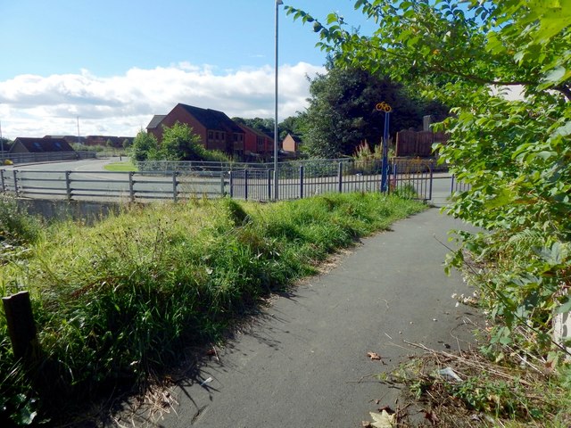
Image: © Lairich Rig Taken: 29 Aug 2016
A short section of cycle path branches off from the main route (which follows the western side of the River Leven), to run alongside the lade intake at Dalquhurn (Image). Not far ahead, it meets the foot of John Street. The housing in the left background is on the former site of the Dalquhurn Works. The gates not far ahead are shown from the other side in Image and (from further away) in Image
Images are licensed for reuse under creativecommons.org/licenses/by-sa/2.0
Image Location
Latitude
55.966947
Longitude
-4.580765