Rural houses in Burleydam
Introduction
The photograph on this page of Rural houses in Burleydam by Garry Lavender-Rimmer as part of the Geograph project.
The Geograph project started in 2005 with the aim of publishing, organising and preserving representative images for every square kilometre of Great Britain, Ireland and the Isle of Man.

There are currently over 7.5m images from over 14,400 individuals and you can help contribute to the project by visiting https://www.geograph.org.uk
Rural houses in Burleydam
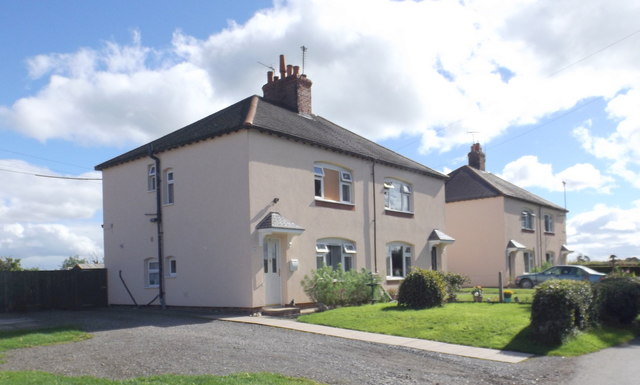
Image: © Garry Lavender-Rimmer Taken: 13 Sep 2016
Now known as "Fields View" these houses were originally known simply as "The Council Houses", Lodmore Lane, Burleydam. They were built to house farm workers. This photograph shows numbers 5 to 8 inclusive. The modern finish has only been applied within the last 5 years to improve their insulation properties as they were built of solid 9 inch walls
Images are licensed for reuse under creativecommons.org/licenses/by-sa/2.0
Image Location
Latitude
52.9746
Longitude
-2.572545