Earls Barton, All Saints' Church
Introduction
The photograph on this page of Earls Barton, All Saints' Church by David Dixon as part of the Geograph project.
The Geograph project started in 2005 with the aim of publishing, organising and preserving representative images for every square kilometre of Great Britain, Ireland and the Isle of Man.

There are currently over 7.5m images from over 14,400 individuals and you can help contribute to the project by visiting https://www.geograph.org.uk
Earls Barton, All Saints' Church
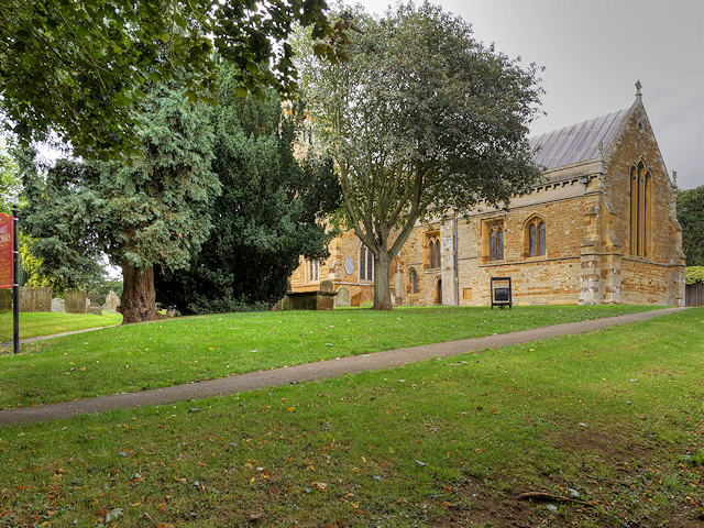
Image: © David Dixon Taken: 6 Sep 2016
The Church of England parish church of All Saints at Earls Barton is a noted Anglo-Saxon Church; its tower is believed to date from ca970 AD (http://www.allsaintsearlsbarton.org.uk/about-us/our-history All Saints’ website), shortly after Danish raids on England;. All Saints' underwent two phases of Norman enlargement, one at either end of the 12th century. Other notable features include a Norman or Anglo-Saxon door and arcading on the western end of the building (this was the original entrance to the church), a medieval rood screen, a Victorian font and pews, and a modern 20th-century inner porch and windows (http://www.allsaintsearlsbarton.org.uk/wp-content/uploads/2014/10/Church-visitor-notes.pdf Visitor Guide to the church). Apart from the Saxon tower, the church is mainly built from Northamptonshire ironstone and limestone, while the tower was constructed from Barnack stone and infilled with local limestone. The church is a Grade I listed building (List entry Number: 1294226 https://www.historicengland.org.uk/listing/the-list/list-entry/1294226 Historic England).
Images are licensed for reuse under creativecommons.org/licenses/by-sa/2.0
Image Location
Latitude
52.265861
Longitude
-0.752955