Port Allen
Introduction
The photograph on this page of Port Allen by Anne Burgess as part of the Geograph project.
The Geograph project started in 2005 with the aim of publishing, organising and preserving representative images for every square kilometre of Great Britain, Ireland and the Isle of Man.

There are currently over 7.5m images from over 14,400 individuals and you can help contribute to the project by visiting https://www.geograph.org.uk
Port Allen
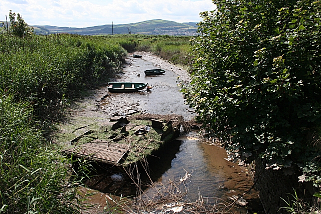
Image: © Anne Burgess Taken: 31 Jul 2007
The boat lying rotting in the tidal channel which used to be the harbour here is an unusual-looking craft. I see that another contributor speculates that it was used for harvesting reeds.
Images are licensed for reuse under creativecommons.org/licenses/by-sa/2.0
Image Location


Leaflet Map data © OpenStreetMap
Latitude
56.377133
Longitude
-3.214697