Footpath from Fysie Lane
Introduction
The photograph on this page of Footpath from Fysie Lane by Marathon as part of the Geograph project.
The Geograph project started in 2005 with the aim of publishing, organising and preserving representative images for every square kilometre of Great Britain, Ireland and the Isle of Man.

There are currently over 7.5m images from over 14,400 individuals and you can help contribute to the project by visiting https://www.geograph.org.uk
Footpath from Fysie Lane
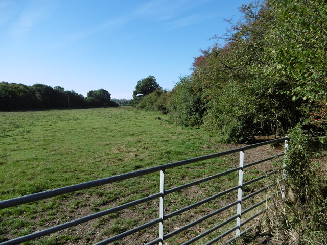
Image: © Marathon Taken: 11 Sep 2016
The path follows the right hand side of this field and a tributary of the River Rother to reach Haremere Hill near Etchingham station.
Images are licensed for reuse under creativecommons.org/licenses/by-sa/2.0
Image Location
Latitude
51.016747
Longitude
0.446375