Bridges, Elgin
Introduction
The photograph on this page of Bridges, Elgin by Richard Dorrell as part of the Geograph project.
The Geograph project started in 2005 with the aim of publishing, organising and preserving representative images for every square kilometre of Great Britain, Ireland and the Isle of Man.

There are currently over 7.5m images from over 14,400 individuals and you can help contribute to the project by visiting https://www.geograph.org.uk
Bridges, Elgin
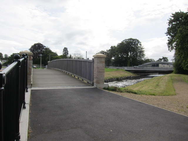
Image: © Richard Dorrell Taken: 9 Aug 2016
On the left is a footbridge linking King Street with a part of Newmill Road. On the right is Brewery Bridge, which carries the road part of Newmill Road. The river is the River Lossie. The river here forms the boundary between the parishes of Elgin (to the SW) and St Andrews-Lhanbryd (to the NE).
Images are licensed for reuse under creativecommons.org/licenses/by-sa/2.0
Image Location
Latitude
57.650985
Longitude
-3.304215