Yachting marina, Lossiemouth
Introduction
The photograph on this page of Yachting marina, Lossiemouth by Richard Dorrell as part of the Geograph project.
The Geograph project started in 2005 with the aim of publishing, organising and preserving representative images for every square kilometre of Great Britain, Ireland and the Isle of Man.

There are currently over 7.5m images from over 14,400 individuals and you can help contribute to the project by visiting https://www.geograph.org.uk
Yachting marina, Lossiemouth
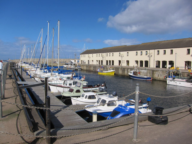
Image: © Richard Dorrell Taken: 8 Aug 2016
The marina occupies the eastern part of Lossiemnouth's Branderburgh Harbour which opened in 1835. The flats on the far harbour wall are modern and replaced former railway sheds.
Images are licensed for reuse under creativecommons.org/licenses/by-sa/2.0
Image Location
Latitude
57.722202
Longitude
-3.279745