Reworking The Old General
Introduction
The photograph on this page of Reworking The Old General by John Sutton as part of the Geograph project.
The Geograph project started in 2005 with the aim of publishing, organising and preserving representative images for every square kilometre of Great Britain, Ireland and the Isle of Man.

There are currently over 7.5m images from over 14,400 individuals and you can help contribute to the project by visiting https://www.geograph.org.uk
Reworking The Old General
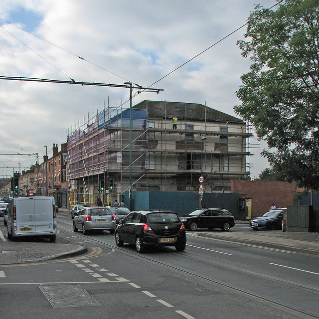
Image: © John Sutton Taken: 7 Sep 2016
The once-busy pub on the corner of Radford Road and Bobbers Mill Road has been closed for a number of years, awaiting the rebuilding which seems at last to be under way. Earlier views explain the origin of the pub's name: Image] Image] Image] Image]
Images are licensed for reuse under creativecommons.org/licenses/by-sa/2.0
Image Location
Latitude
52.969155
Longitude
-1.173717