Sherwood Rise: Alma Street
Introduction
The photograph on this page of Sherwood Rise: Alma Street by John Sutton as part of the Geograph project.
The Geograph project started in 2005 with the aim of publishing, organising and preserving representative images for every square kilometre of Great Britain, Ireland and the Isle of Man.

There are currently over 7.5m images from over 14,400 individuals and you can help contribute to the project by visiting https://www.geograph.org.uk
Sherwood Rise: Alma Street
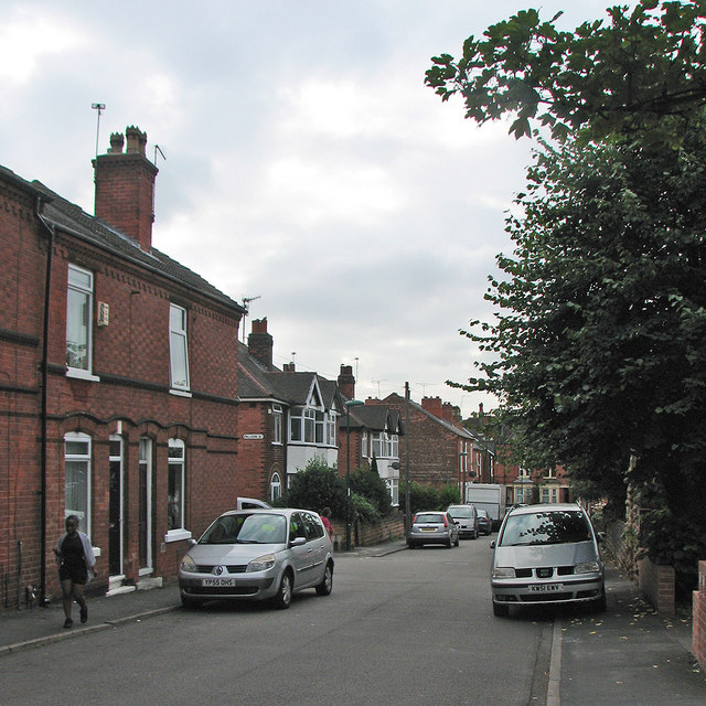
Image: © John Sutton Taken: 7 Sep 2016
Victorian terraces and inter-wars semi-detached houses, photographed on a cloudy September morning.
Images are licensed for reuse under creativecommons.org/licenses/by-sa/2.0
Image Location
Latitude
52.972486
Longitude
-1.161592