Cycle route 451 signpost on a Crewe corner
Introduction
The photograph on this page of Cycle route 451 signpost on a Crewe corner by Jaggery as part of the Geograph project.
The Geograph project started in 2005 with the aim of publishing, organising and preserving representative images for every square kilometre of Great Britain, Ireland and the Isle of Man.

There are currently over 7.5m images from over 14,400 individuals and you can help contribute to the project by visiting https://www.geograph.org.uk
Cycle route 451 signpost on a Crewe corner
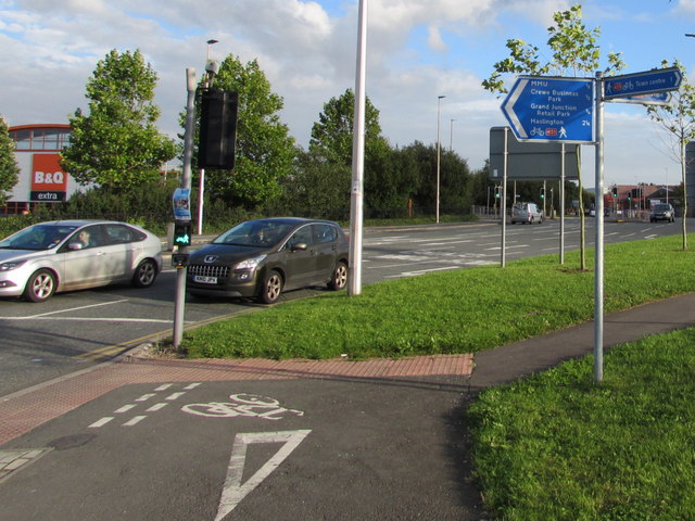
Image: © Jaggery Taken: 10 Sep 2016
National Cycle Network Route 451 connects Nantwich with Sandbach via Crewe. This part of the route is on the corner of Weston Road and Nantwich Road, a mile from Crewe town centre to the right and 2¼ miles from Haslington to the left. A B&Q Extra is in the background.
Images are licensed for reuse under creativecommons.org/licenses/by-sa/2.0
Image Location
Latitude
53.089719
Longitude
-2.431477