Derryhale Controlled Primary School
Introduction
The photograph on this page of Derryhale Controlled Primary School by P Flannagan as part of the Geograph project.
The Geograph project started in 2005 with the aim of publishing, organising and preserving representative images for every square kilometre of Great Britain, Ireland and the Isle of Man.

There are currently over 7.5m images from over 14,400 individuals and you can help contribute to the project by visiting https://www.geograph.org.uk
Derryhale Controlled Primary School
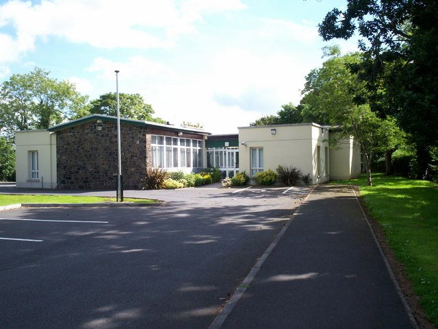
Image: © P Flannagan Taken: 31 Jul 2007
When this new school was built in 1958, on a site adjacent to the old school, stone from the old building was used in the construction of the new single storey building. Stone similar to that used in this school can also be seen in a nearby two storey house, known as Dower House, also referred to as Derryhale House.
Images are licensed for reuse under creativecommons.org/licenses/by-sa/2.0
Image Location


Leaflet Map data © OpenStreetMap
Latitude
54.375634
Longitude
-6.484985