Middle Long Syke
Introduction
The photograph on this page of Middle Long Syke by Jonathan Thacker as part of the Geograph project.
The Geograph project started in 2005 with the aim of publishing, organising and preserving representative images for every square kilometre of Great Britain, Ireland and the Isle of Man.

There are currently over 7.5m images from over 14,400 individuals and you can help contribute to the project by visiting https://www.geograph.org.uk
Middle Long Syke
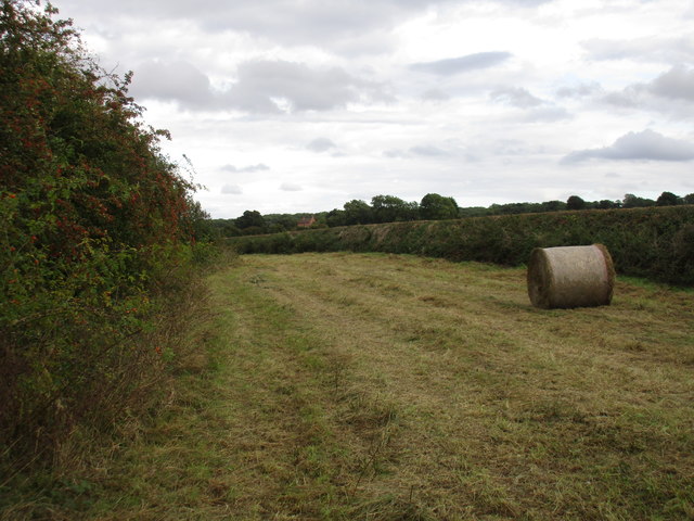
Image: © Jonathan Thacker Taken: 9 Sep 2016
Middle Long Syke is divided in two by a beck and hedge. This is the southern side. A Syke is a parcel of land which is unsuitable for cultivation so maintained as grassland.
Images are licensed for reuse under creativecommons.org/licenses/by-sa/2.0
Image Location
Latitude
53.18266
Longitude
-0.897122